Rockmine Georesource Consultants Ltd. principals are quite conversant with GIS (Geographical Information systems). GIS has in the recent times become the internationally recognized method of database management, map preparation and data presentation.
The Rockmine Georesource Consultants Ltd. principal Associates share more than 5 years of experience in the Conduct, Management and technical oversight of a wide variety of groundwater resource development, wellhead and source water protection; recharge areas delineation, contaminant transport evaluations, groundwater remediatric assessments, plume allocation; expert testimony and regional groundwater flow system analysis.
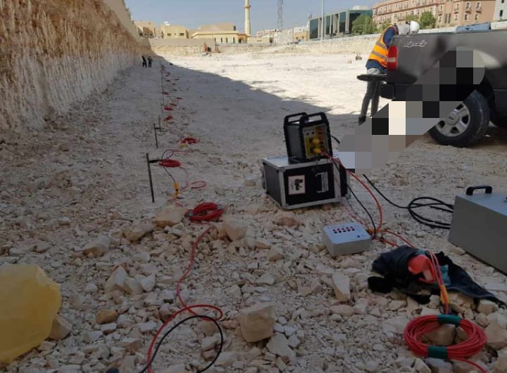
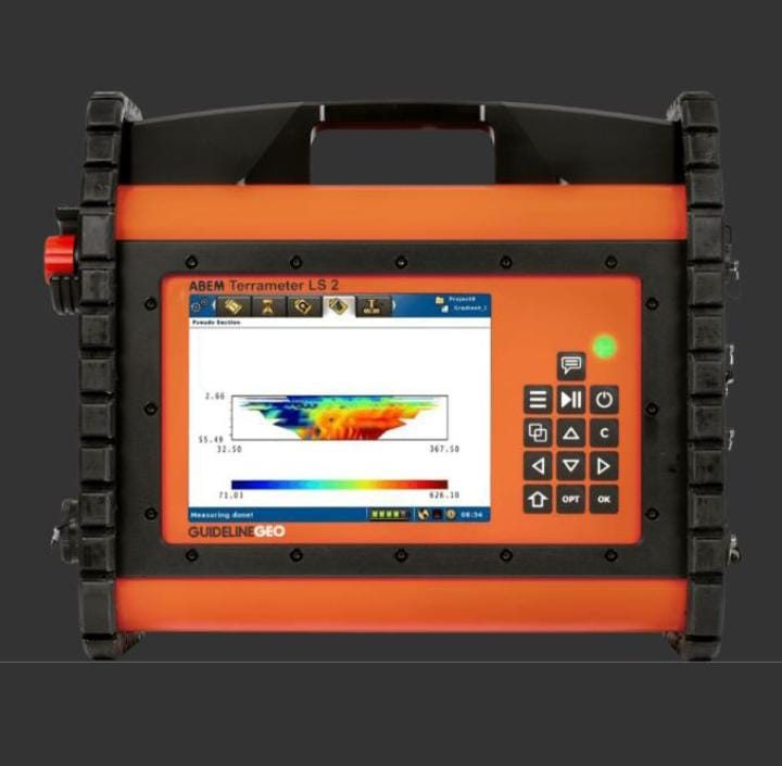
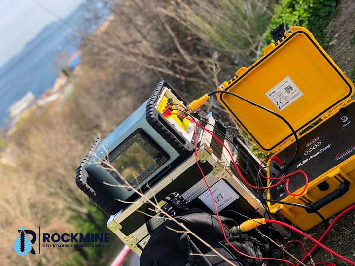
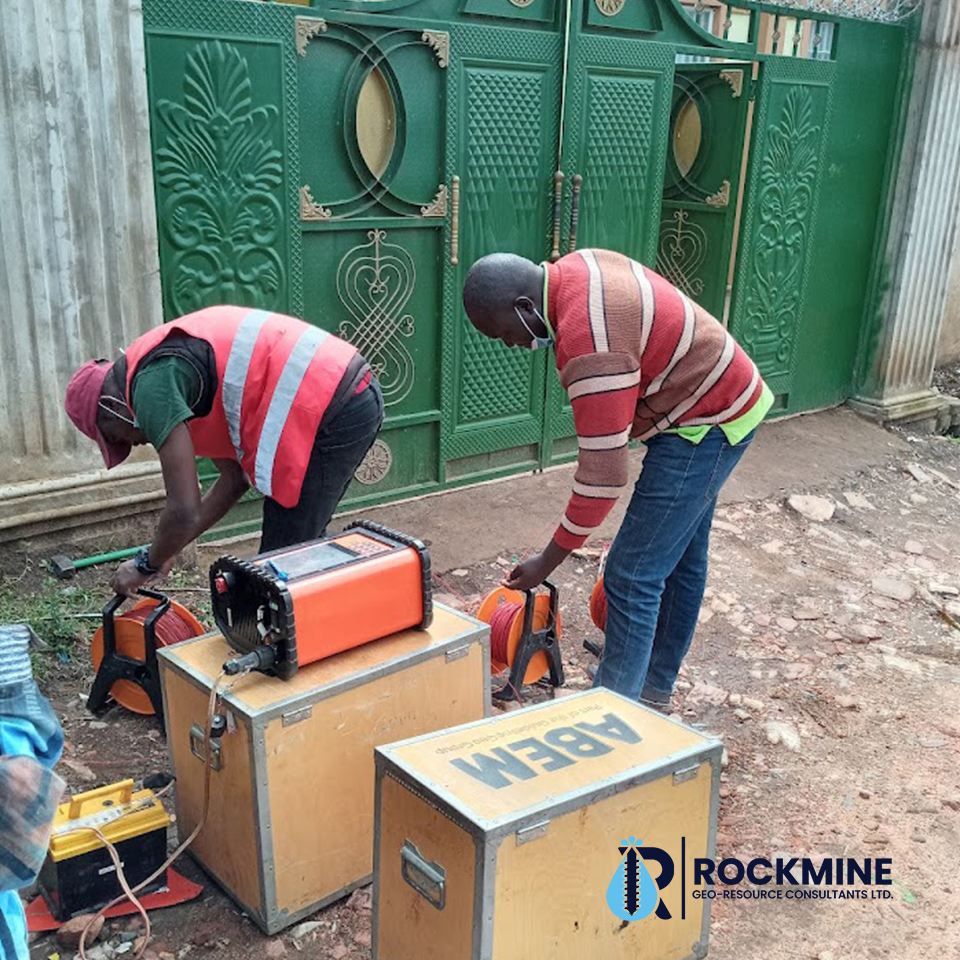
To enhance project outputs and levels of accuracy in design procedures – Rockmine Georesource Consultants Ltd. the company is equipped with the modern state of art – resistivity instrumentation. The ABEM’s – SAS 1000 with the accessories of LUND Imaging, and SAS 200/300 Borehole logging unit is an integral part of the Rockmine Georesource Consultants Ltd. Survey programs. Additional data is conventionally generated the VLF instrumentation as in Basement areas.
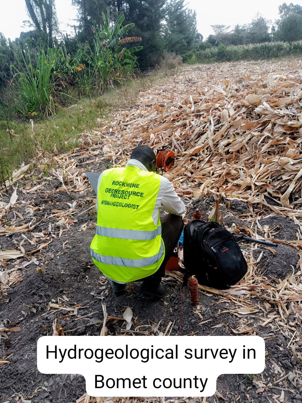
The hydro- geological surveys are carried out according to geographical/ spatial distribution in the maps provided. This normally includes geophysical measurements/ hydrogeological assessments to establish optimal sites for drilling.
At the site, geophysical measurements are carried out whereby several methods (resistivity, electromagnetic conductivity) are employed. Data for Boreholes and the general aquifer system within the project area are used and this concept study opts for collative aquifer data in order to derive feasible aquifer flow parameters.
A review of the existing data and collation with the field data is encompassed as part of the study specifics. The recommendations are specified and laid emphasis on the drilling, application of modern construction and development technologies as a way to ensure the sustainability of the aquifer system within the proposed intake systems.
We have team of experienced and certified Geophysicists and Hydro- geologist; who are professionally registered hence assured professionalism attendance.
This team of experts designs and locates boreholes, estimate discharge outflowsand possible optimal drill depth.
When necessary, Rockmine Georesource Consultants Ltd will help you acquire the prerequisite documentation (permits and licenses) for drilling activity.
Once the geologist has surveyed the area, he/she will provide you with a detailed report on the geology of the parcel of land. This report will also indicate the estimated depth of the water and the exact location of the borehole. The report is an important document you will require, to get the drilling process going, besides other important documents.
Geological/Hydrological Survey carried out by a registered geologist in the designated country.